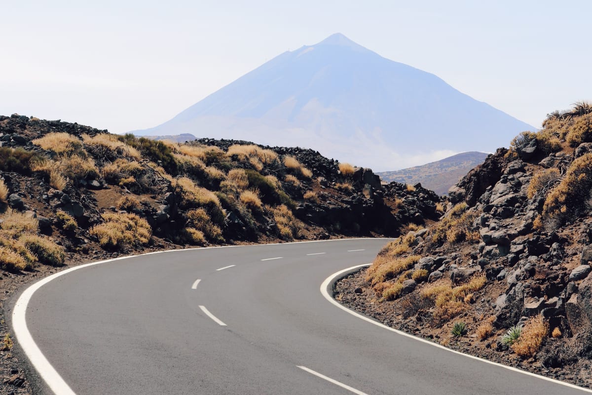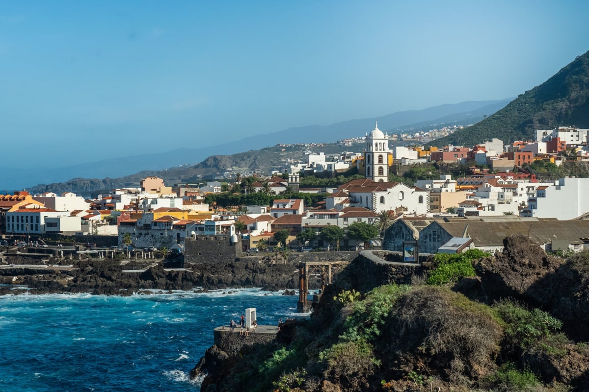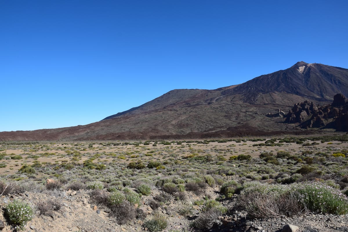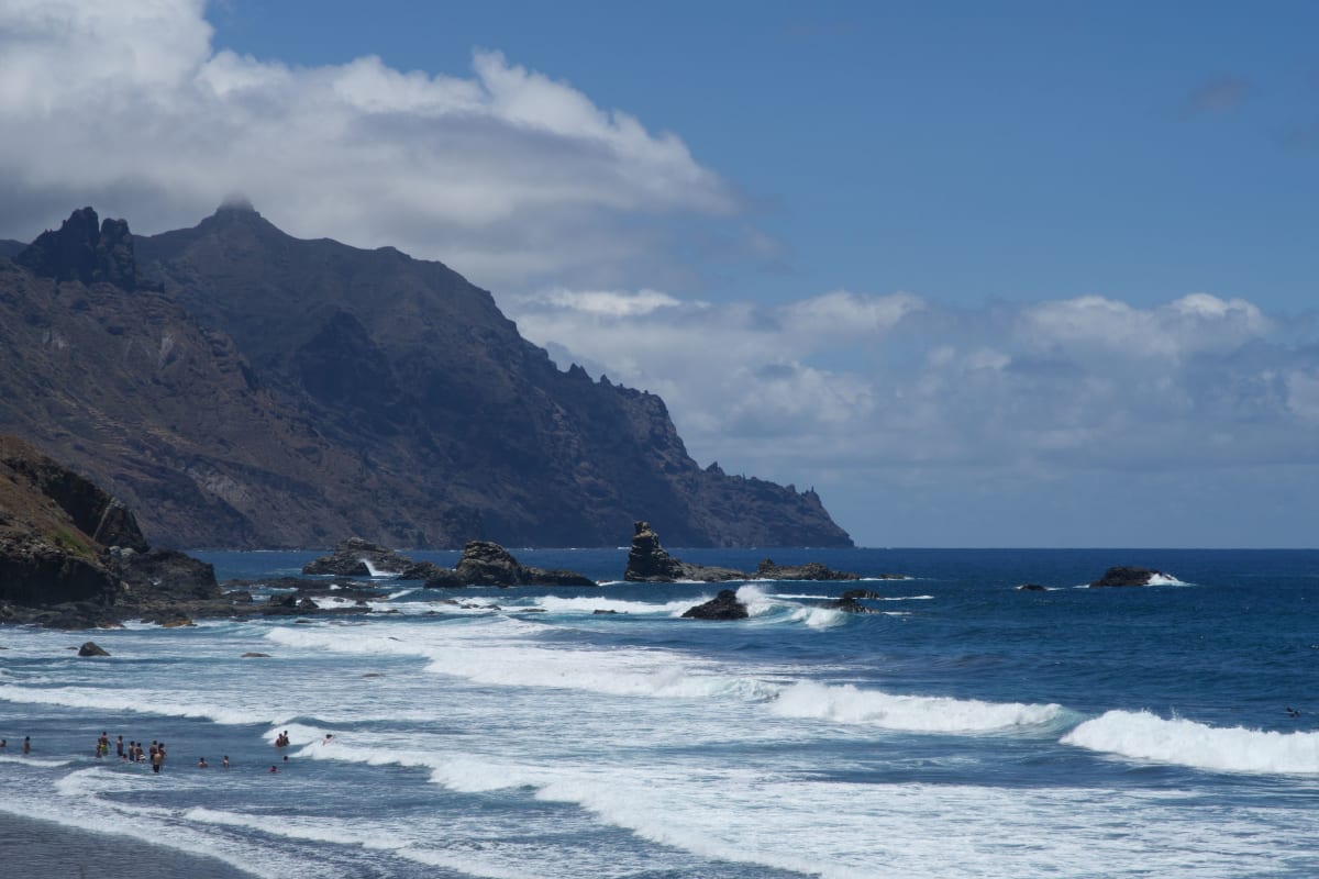
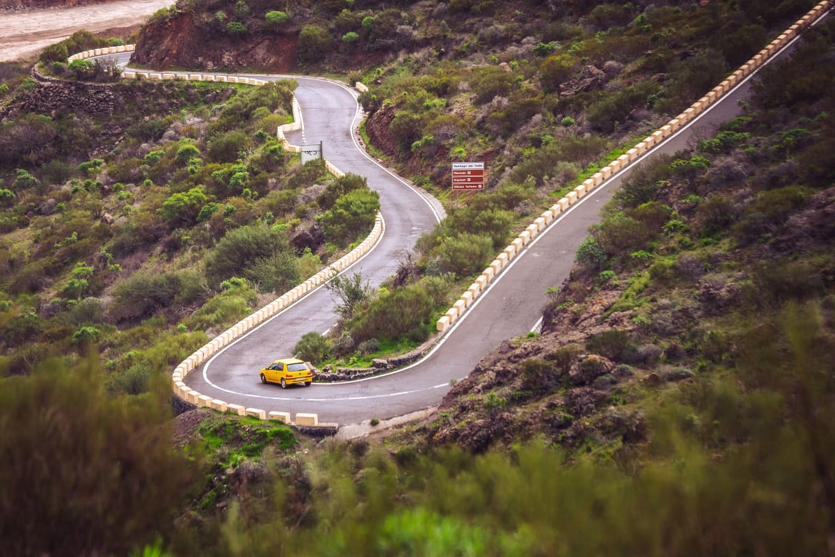
Tenerife is one of the best walking islands in Europe and almost nobody comes here to walk. The reason to is compressed geography: in a single morning you can go from semi-desert at sea level, through pine forest, into a high volcanic desert, and the vegetation changes completely three times on the way.
The season is the other reason. The walking here is at its best between November and April, which is when northern European routes are shut. That inversion is why the island fills with walkers in months the beaches do not.
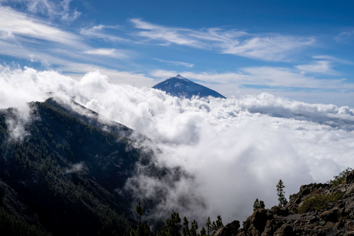
Anaga, which is the best of it
The Anaga massif occupies the north-eastern corner and is the oldest part of the island, twisted into knife-edge ridges and steep barrancos. It holds laurisilva, the laurel cloud forest that covered southern Europe before the Ice Age and now survives in a handful of places. Walking in it is a genuinely strange experience: dripping wet, dark green, full of ferns, forty minutes from a desert coastline.
The Sendero de los Sentidos near Cruz del Carmen is three short interpreted loops and the easiest way in, suitable for anyone.
The Chinamada route runs to a hamlet of cave houses still lived in, along a ridge with the sea on both sides.
The Taganana descent drops from the ridge road to a village and a black-sand beach, and can be walked one way with a bus back.
Cloud is normal here rather than bad luck. The forest exists because of it, and walking in it is part of the point.
Masca, and what changed in 2026
The Masca gorge is the island's famous walk: a descent from a village at 600 metres down a ravine to the sea, finishing at a beach with no road, so the return is by boat to Los Gigantes.
Two separate restrictions now apply and both matter.
The descent itself requires a booked permit, a helmet and a fixed time slot, with numbers capped. This has been the case since the route reopened after a long closure.
Since 30 July 2026 the TF-436, the mountain road to the village, refuses recreational visitor vehicles between nine in the morning and four in the afternoon. Residents, buses and authorised operators still pass; a hire car does not.
The practical effect is that the walk is now done either very early, or as an organised trip where the operator handles the road access, the permit and the boat. That last option is the straightforward one and it is what most people should book.
Tours and Things to Do in Tenerife
Whale watching, Teide, boat trips, walking tours and day trips across the island and out to La Gomera, via GetYourGuide.
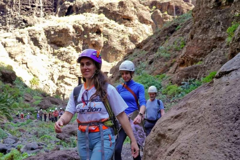
Masca gorge on foot, out by boat
Down the gorge on foot with a guide and out by boat, which is how that route is now walked legally.
Check availability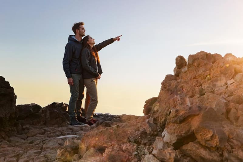
Teide at sunset and after dark, with the cable car
The cable car late in the day, sunset from above the cloud, then one of Europe's darkest skies.
Check availabilityTeide National Park on foot
The park has a large network of marked trails and most of them do not need a permit. Only the final summit cone does.
The Roques de García circuit is about ninety minutes on the crater floor, dropping below the rock formations and climbing back. It is the best short walk in the park and needs no preparation beyond water and a hat.
Montaña Blanca is the serious one: a long ascent from the road towards the Altavista refuge, high, exposed and unrelenting. It is how people reach the summit at dawn, staying at the refuge overnight.
Altitude applies to all of it. The crater floor sits above 2,000 metres and effort at that height feels different from effort at sea level.
The Teno hills in the west
Less visited than Anaga and drier, Teno holds the far north-western corner of the island above Buenavista. The walking here is on exposed ridges with long sea views, and the coastal path towards Punta de Teno reaches the lighthouse at the island's western tip.
Access to Punta de Teno itself is by bus or on foot rather than by hire car for most of the week, for the same reason as Masca: a narrow road under unstable cliffs.
The Corona Forestal in between
Between the coast and the crater lies the Corona Forestal, a belt of Canary pine that rings the island at around 1,000 to 2,000 metres. It is the largest protected area in the Canaries and the least visited part of the island's walking.
The pine here is remarkable for a reason worth knowing on the ground: it is fire resistant, resprouting from the trunk after a burn, and its long needles comb moisture out of the passing cloud so effectively that the ground beneath is wet on a rainless day. That horizontal rain is where a large part of the island's water comes from.
Walking in the pine belt is quieter than the park above it and easier than Anaga, on wide forestry tracks with long views down to the coast. The area above Vilaflor and the tracks around La Esperanza are the usual entry points.
Guided or independent
Both work here, and the choice is not really about difficulty.
The marked trails are well signed with the Spanish convention of red and white flashes for long-distance routes and yellow and white for local ones. A competent walker with a map does not need a guide for Anaga or for the national park.
A guide earns their fee in three cases. On Masca, where the permit and the road access are handled for you. On anything ending somewhere with no road out, where the logistics are the hard part. And in Anaga in cloud, where the ridges branch and a wrong turn adds hours.
The routes that cross the island
Three long-distance paths run through Tenerife and they can be walked in sections.
The GR 131 is the island crossing, from Anaga in the north-east over Teide to Arona in the south, taking about five days.
The GR 121 circles the island closer to the coast, and the PR routes are the shorter local paths that connect to both.
Refuges exist on the high sections, and the Altavista refuge below the summit must be booked. Wild camping is not permitted in the national park.
Anaga without a car
The Anaga walking is reachable on public transport, which is unusual for the good routes on this island and worth knowing.
From Santa Cruz, bus 077 climbs to Cruz del Carmen, where the visitor centre sits at the head of several trails including the interpreted loops. Bus 076 continues along the ridge. Bus 946 runs to Taganana and on to the coast at Almáciga.
That combination allows a linear walk rather than a circuit, which is the better shape here: down from the ridge to the coast, then a bus back up. Check the return times before starting, because the last one is earlier than you would like.
Maps and what they miss
The signage on the marked routes is good and it is not a substitute for a map. Cloud closes in fast on the ridges, junctions are frequent in Anaga, and phone coverage disappears in the barrancos.
Download the offline map before setting out rather than relying on a signal at the junction. The island's protected areas also close individual paths for erosion and rockfall at short notice, and the notice is a sign at the trailhead, not an update to your app.
What the trail markings mean
Spain uses a consistent system and it is worth ten seconds to learn.
Red and white flashes mark a GR, a long-distance route running for days.
Yellow and white mark a PR, a short route generally walkable in under a day.
Green and white mark an SL, a local path of a few kilometres.
A flash of the two colours means carry straight on. The same two colours in a right-angled arrow means turn. The colours arranged as a cross means this is not the route, and that last one is the marking people miss, usually where an inviting track leaves the correct path.
When not to walk
Three conditions, and all three are checkable the night before.
Calima. The Saharan dust wind raises the temperature sharply and drops visibility, and the park usually advises against exertion at altitude while it lasts.
High wind at altitude. If the cable car is closed for wind, the summit paths are not a good idea either.
Heat warnings in summer at low level. The southern and western coastal walks have no shade and no water, and the mid-afternoon in August is genuinely dangerous rather than merely unpleasant.
Practical matters
Water. More than you think. There is nothing to buy on any of these routes and the dry heat takes it out of you without you noticing.
Boots, not trainers. The volcanic surfaces are loose and abrasive, and the descents are what hurt.
Layers. A cloud forest at fourteen degrees and a coastline at twenty-six are ninety minutes apart.
Sun. At altitude, and on pale lava, it is stronger than the temperature suggests.
Timing. Start early. The heat, the coach parties and the afternoon cloud all arrive together.
Emergencies. The island's emergency number is 112. Mobile coverage is patchy in the barrancos and absent in parts of Anaga, so somebody should know your route.